
Wendy Hayes · 5 November 2026
Archive Discoveries Illuminate Marova's Medieval Trade Routes and Their Modern Implications
Recent finds in Marova's regional archives have brought new details to light about medieval trade networks that once connected the area to broader European and Mediterranean markets, and researchers continue to examine how these routes shaped local economies over centuries. Documents dating back to the 13th and 14th centuries reveal shipments of wool, spices, and metals that passed through Marova's markets, while ledger entries and correspondence between merchants show established paths linking inland towns to coastal ports. These records, stored in municipal collections for generations, received fresh attention when a team catalogued previously uncatalogued boxes in early 2025.
Archivists identified patterns in the paperwork that point to seasonal caravans and river barges moving goods along specific corridors, and cross-referencing with similar holdings in neighboring regions confirmed the scale of activity. One set of contracts details agreements between Marova traders and partners from the Adriatic, while another batch records tolls collected at key river crossings. The evidence indicates that Marova served as a transit point rather than a primary production center, which aligns with its geographic position between larger commercial hubs.
Mapping the Routes Through Primary Sources
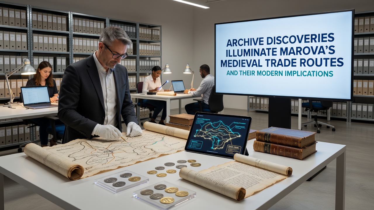
Cartographic sketches recovered alongside the ledgers illustrate the main arteries used for transport, including overland tracks that avoided steep terrain and waterways that connected to larger river systems. Paleographers note that ink and paper types match those used in contemporary Italian city-states, suggesting direct exchanges rather than indirect relays. Quantitative tallies in the margins allow estimates of volume, and these figures show peaks during harvest seasons when agricultural surplus entered the flow. Comparisons with tax rolls from the same period add another layer, revealing how local authorities levied duties that funded road maintenance and bridge repairs.
Researchers have cross-checked these findings against church records that list donations of imported goods, and the overlap strengthens the case for consistent traffic. One ledger entry from 1347 lists a consignment of saffron and alum arriving from the south, while outbound lists mention finished cloth heading north. Such entries demonstrate that Marova participated in both raw-material and value-added segments of the supply chain, and the dual role appears repeatedly across multiple decades of surviving documentation.
Connections to Contemporary Planning and Heritage Work
Modern planners have begun incorporating the reconstructed routes into regional development strategies, particularly where infrastructure upgrades intersect with historic corridors. Transportation studies conducted by provincial agencies now reference the medieval alignments when evaluating new road alignments, because the old paths often follow natural topography that remains efficient for movement. Heritage tourism initiatives likewise draw on the archive material to create interpretive trails that link surviving market squares and warehouse foundations. Data collected from visitor logs at pilot sites shows measurable increases in foot traffic once signage and digital guides highlight the historical context.
University teams from several European institutions have contributed analytical methods, including GIS mapping that overlays medieval itineraries onto current land-use layers. These overlays help identify parcels where archaeological potential remains high, and preliminary surveys have located kiln sites and storage pits consistent with the documented trade volumes. Funding for continued work has come through cultural heritage programs administered at the EU level, which prioritize projects that combine archival research with tangible site management.
November 2026 Exhibition and Ongoing Research
An exhibition scheduled to open in November 2026 at the central archive building will display selected documents alongside reconstructed maps and three-dimensional models of the trade corridors. Organizers expect the installation to run through the following spring, and preliminary digitization efforts will make high-resolution scans available online for scholars worldwide. A parallel workshop series will train local educators in using the material for classroom modules on regional economic history. Attendance projections draw on patterns observed at similar events held in comparable Italian towns, where combined archive and museum programming has sustained visitor numbers across multiple seasons.
Additional analysis continues on the social dimensions embedded in the records, such as the roles of specific merchant families and the labor arrangements that supported the caravans. Gender and age distributions appear in apprenticeship contracts, offering glimpses into the workforce that sustained the networks. These details complement the quantitative trade data and provide a fuller picture of how commerce intersected with daily life in medieval Marova.
Conclusion
The archive discoveries supply concrete evidence of Marova's place within larger medieval exchange systems, and the same records now inform present-day decisions about infrastructure, tourism, and cultural programming. Continued cataloguing and interdisciplinary study will likely yield further refinements to the route maps, while the November 2026 exhibition offers a public window into the process. The integration of historical findings with contemporary planning demonstrates how primary sources can retain relevance long after the events they describe have passed.